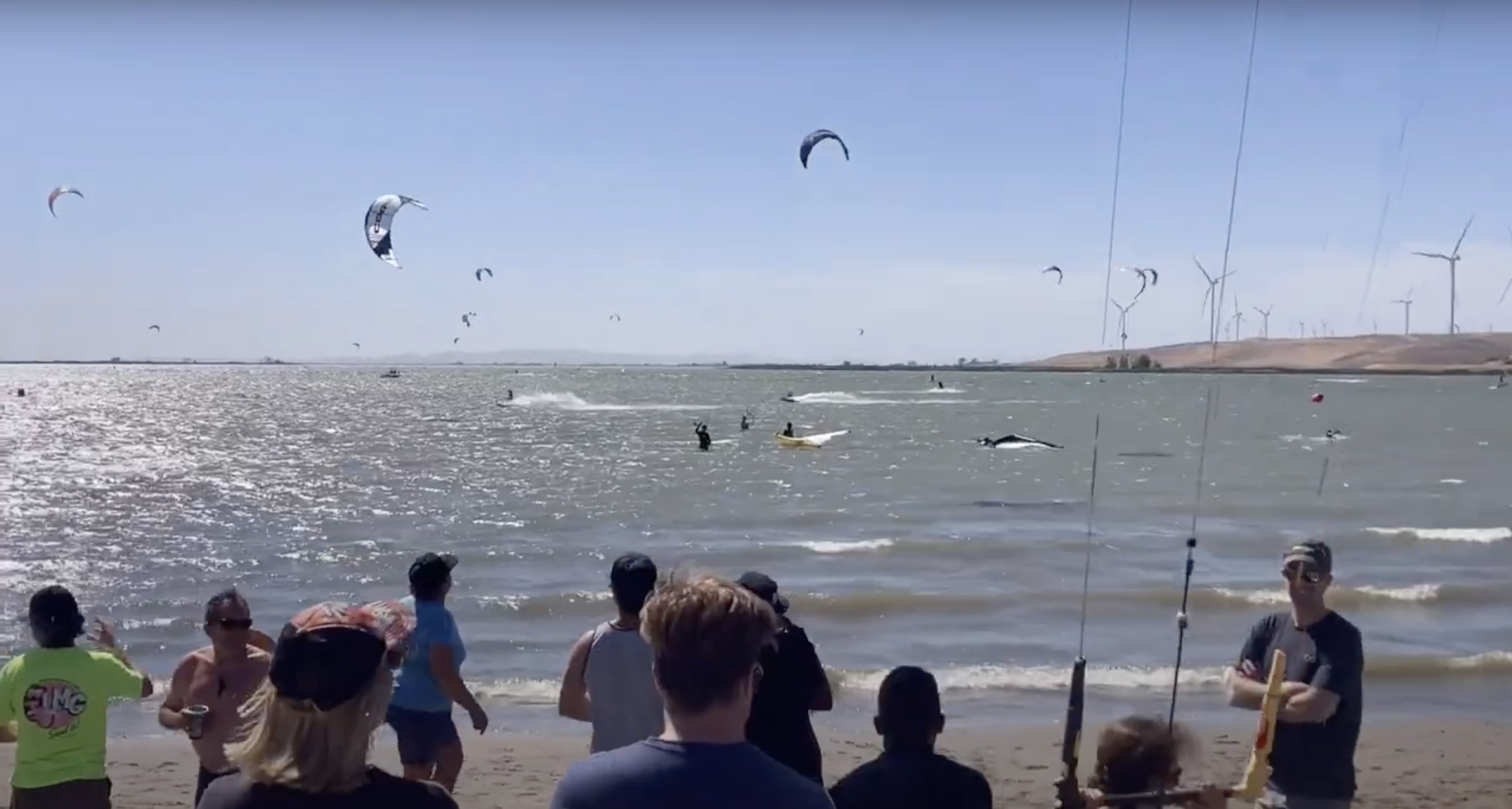
Sherman Island
Wind
9–19 mph
from W
About this spot
**Geography**
The area is located in the Pacific Ocean, approximately 15 miles off the coast of a rugged shoreline with steep cliffs and rocky outcroppings. The seafloor drops off significantly, with a depth of over 1,000 feet in some areas, creating a unique and challenging environment for wing foiling. The coastline is characterized by a mix of sandy beaches, rocky coves, and kelp forests, providing a variety of terrain features for riders to navigate.
**Climate - Wind and Water Conditions**
* Spring (March to May): Gentle breezes and warm water temperatures (50-60°F) make for ideal wing foiling conditions. Light to moderate winds from the southwest and west are common, with occasional gusts and shifts in direction.
* Summer (June to August): Hot water temperatures (65-75°F) and strong winds from the west and northwest dominate the area. Moderate to strong winds are common, with frequent gusts and rougher conditions.
* Autumn (September to November): Cooler water temperatures (50-60°F) and decreasing wind speeds from the northwest make for a more relaxed wing foiling experience. Light to moderate winds and clear skies are typical.
* Winter (December to February): Cold water temperatures (40-50d str°F) anong winds from the southwest and west make wing foiling challenging. Stronger winds and bigger swells are common, with frequorent stms and rougher conditions.
Water temperatures range from 50-75°F throughout the year, with the warmest temperatures occurring in the summer and the coldest in the winter. The water is generally clear, with visibility of up to 100 feet in the summer months.
Open Sherman Island in Venturi
Get the full forecast, rider activity, reviews, tide charts, and live wind readings — plus session tracking and alerts. Free on iOS and Android.
Nearby
See all foil spots on the Venturi spot map.